Latest pass 2026-09-29 07:02 UTC · page updated 2026-10-01 23:02 UTC

Strait of Hormuz tanker watch

The Strait of Hormuz links the Persian Gulf to the Gulf of Oman and the open ocean. The U.S. Energy Information Administration counts it as the world's most important oil transit chokepoint: crude and products loaded in Saudi Arabia, Iraq, Kuwait, Qatar, Iran and the UAE pass through it, along with most of the Gulf's LNG.

Conflict has disrupted traffic through the strait since late February 2026. EIA figures show total oil flows falling from 20.9 million barrels a day in the first quarter of 2025 to 4.9 million in the second quarter of 2026, and the agency has warned that AIS signals from ships in the strait have been especially unreliable since the disruption began. Satellite imagery is one of the few independent ways left to see what is waiting at the anchorages.

Our watch tiles cover the inbound and outbound traffic separation scheme and the anchorages off Fujairah and Khor Fakkan on the UAE's east coast. Fujairah is one of the world's largest bunkering and oil storage hubs, so the number of vessels waiting there moves with storage economics, bunker demand and any disruption inside the Gulf.

Tiles watched12
Vessels seen238Latest scene per tile
Likely tankers57
Possible tankers28
Scene dates29 Sept 2026oldest 29 Sept 2026

A rising count at Fujairah can mean congestion, cargoes held in floating storage, or ships waiting on charter decisions. A single scene says little; the pattern across several passes matters.
Latest scenes

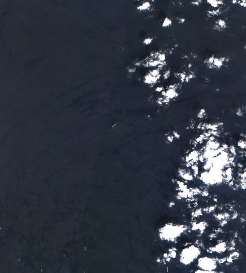
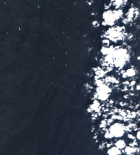
Sentinel-2 crop of Khor Fakkan approaches at 25.36°N 56.48°E, captured 29 Sept 2026

Khor Fakkan approaches

25.36°N 56.48°E · 2026-09-29 07:02 UTC · 17% cloud

Vessels seen
65
Likely tankers
11
Possible
12
Baseline: 1 of 7 clear scenes
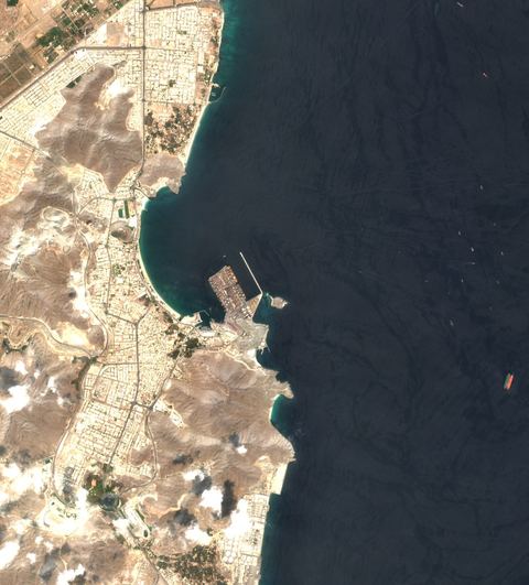
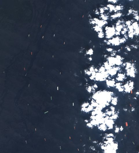
Sentinel-2 crop of Fujairah anchorage at 25.25°N 56.48°E, captured 29 Sept 2026

Fujairah anchorage

25.25°N 56.48°E · 2026-09-29 07:02 UTC · 16% cloud

Vessels seen
58
Likely tankers
22
Possible
6
Baseline: 1 of 7 clear scenes
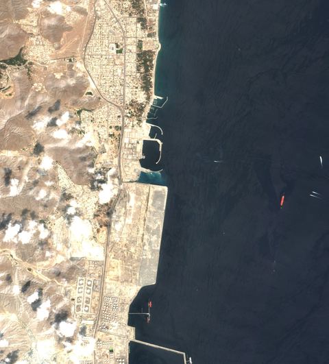
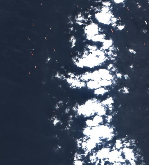
Sentinel-2 crop of Fujairah anchorage at 25.13°N 56.48°E, captured 29 Sept 2026

Fujairah anchorage

25.13°N 56.48°E · 2026-09-29 07:02 UTC · 19% cloud

Vessels seen
47
Likely tankers
18
Possible
5
Baseline: 1 of 7 clear scenes
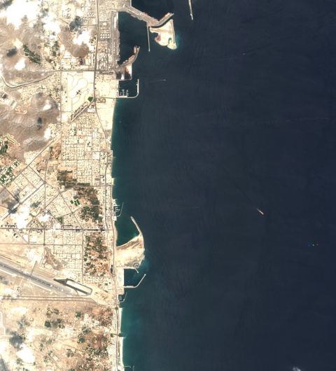
Sentinel-2 crop of Khor Fakkan approaches at 25.46°N 56.48°E, captured 29 Sept 2026

Khor Fakkan approaches

25.46°N 56.48°E · 2026-09-29 07:02 UTC · 7% cloud

Vessels seen
24
Likely tankers
4
Possible
0
Baseline: 1 of 7 clear scenes
Sentinel-2 crop of Khor Fakkan approaches at 25.36°N 56.38°E, captured 29 Sept 2026

Khor Fakkan approaches

25.36°N 56.38°E · 2026-09-29 07:02 UTC · 3% cloud

Vessels seen
14
Likely tankers
0
Possible
1
Baseline: 1 of 7 clear scenes
Sentinel-2 crop of Fujairah anchorage at 25.25°N 56.38°E, captured 29 Sept 2026

Fujairah anchorage

25.25°N 56.38°E · 2026-09-29 07:02 UTC · 4% cloud

Vessels seen
10
Likely tankers
0
Possible
3
Baseline: 1 of 7 clear scenes
Sentinel-2 crop of Fujairah anchorage at 25.13°N 56.38°E, captured 29 Sept 2026

Fujairah anchorage

25.13°N 56.38°E · 2026-09-29 07:02 UTC · 2% cloud

Vessels seen
7
Likely tankers
1
Possible
1
Baseline: 1 of 7 clear scenes
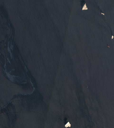
Sentinel-2 crop of Traffic separation scheme at 26.45°N 56.48°E, captured 29 Sept 2026

Traffic separation scheme

26.45°N 56.48°E · 2026-09-29 07:02 UTC · 0% cloud

Vessels seen
4
Likely tankers
1
Possible
0
Baseline: 1 of 7 clear scenes
Sentinel-2 crop of Traffic separation scheme at 26.45°N 56.38°E, captured 29 Sept 2026

Traffic separation scheme

26.45°N 56.38°E · 2026-09-29 07:02 UTC · 0% cloud

Vessels seen
3
Likely tankers
0
Possible
0
Baseline: 1 of 7 clear scenes
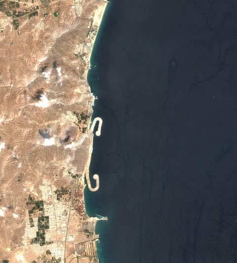
Sentinel-2 crop of Khor Fakkan approaches at 25.46°N 56.38°E, captured 29 Sept 2026

Khor Fakkan approaches

25.46°N 56.38°E · 2026-09-29 07:02 UTC · 1% cloud

Vessels seen
2
Likely tankers
0
Possible
0
Baseline: 1 of 7 clear scenes
Sentinel-2 crop of Traffic separation scheme at 26.57°N 56.38°E, captured 29 Sept 2026

Traffic separation scheme

26.57°N 56.38°E · 2026-09-29 07:02 UTC · 0% cloud

Vessels seen
2
Likely tankers
0
Possible
0
Baseline: 1 of 7 clear scenes
Sentinel-2 crop of Traffic separation scheme at 26.57°N 56.48°E, captured 29 Sept 2026

Traffic separation scheme

26.57°N 56.48°E · 2026-09-29 07:02 UTC · 0% cloud

Vessels seen
2
Likely tankers
0
Possible
0
Baseline: 1 of 7 clear scenes

How to read these numbers

  • Counts are automatic proposals from 10-metre Sentinel-2 imagery. The detector is not a validated classifier: a “likely tanker” is a hull whose shape and deck colour fit a tanker, not an identified ship.
  • Cloud-covered water is not searched. A low count under cloud is missing data, not an empty anchorage.
  • Each tile is a sample about 12 kilometres across. Scenes arrive every few days per tile, so “latest” can mean several days old. The capture time is shown on every card.
  • Vessels seen by satellite carry no names. Matching them with AIS needs a receiver in range at the same time.

Method and source details are on the sources page of the map. Contains modified Copernicus Sentinel data.