Latest pass 2026-09-19 10:29 UTC · page updated 2026-10-01 23:02 UTC
West Africa tanker watch
Waters off Lomé in Togo are a long-standing hub for ship-to-ship transfers in the Gulf of Guinea. Larger tankers bring refined products from Europe and elsewhere, and smaller vessels carry them on to coastal terminals across the region.
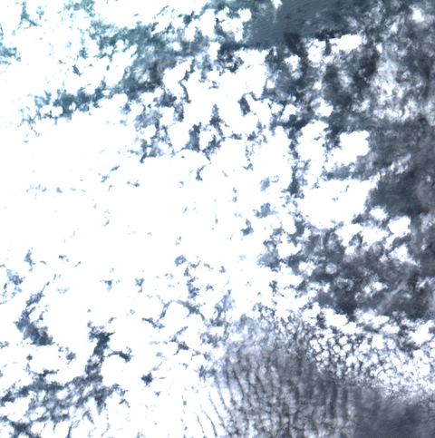
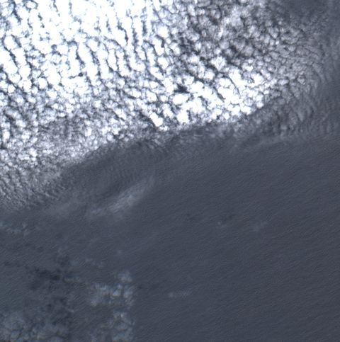
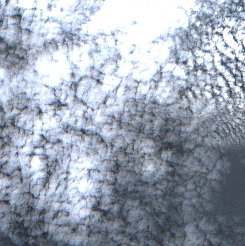
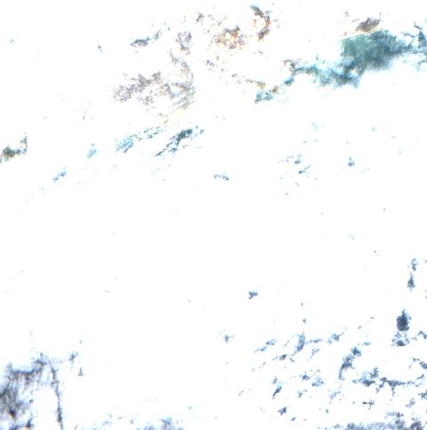
Cloud cover is a frequent problem here, especially in the wet season, so the cloud figure on each tile matters as much as the vessel count.
Tiles watched4
Vessels seen21Latest scene per tile
Likely tankers0
Possible tankers1
Scene dates19 Sept 2026
Treat a low count under heavy cloud as missing data, not as an empty anchorage.
Latest scenes
Lomé offshore
6.11°N 1.38°E · 2026-09-19 10:29 UTC · 71% cloud
Vessels seen
11
Likely tankers
0
Possible
1
Baseline: 0 of 7 clear scenes
Lomé offshore
6.00°N 1.38°E · 2026-09-19 10:29 UTC · 21% cloud
Vessels seen
9
Likely tankers
0
Possible
0
Baseline: 1 of 7 clear scenes
Lomé offshore
6.00°N 1.27°E · 2026-09-19 10:29 UTC · 45% cloud
Vessels seen
1
Likely tankers
0
Possible
0
Baseline: 0 of 7 clear scenes
Lomé offshore
6.11°N 1.27°E · 2026-09-19 10:29 UTC · 98% cloud
Vessels seen
0
Likely tankers
0
Possible
0
Baseline: 0 of 7 clear scenes
How to read these numbers
Counts are automatic proposals from 10-metre Sentinel-2 imagery. The detector is not a validated classifier: a “likely tanker” is a hull whose shape and deck colour fit a tanker, not an identified ship.
Cloud-covered water is not searched. A low count under cloud is missing data, not an empty anchorage.
Each tile is a sample about 12 kilometres across. Scenes arrive every few days per tile, so “latest” can mean several days old. The capture time is shown on every card.
Vessels seen by satellite carry no names. Matching them with AIS needs a receiver in range at the same time.
Method and source details are on the sources page of the map. Contains modified Copernicus Sentinel data.