Latest pass 2026-09-30 08:29 UTC · page updated 2026-10-01 23:02 UTC
Southern Africa tanker watch
Algoa Bay, off Gqeberha, hosts South Africa's offshore ship-to-ship bunkering area, where tankers refuel passing ships and transfer cargo at anchor. Table Bay off Cape Town serves ships calling at the port and vessels waiting on crew changes, supplies or orders.
Traffic around the Cape grew when Red Sea attacks diverted shipping from Suez, which made these anchorages a useful read on rerouting. Bunkering at Algoa Bay has also drawn scrutiny over spill risk near protected seabird colonies.
Tiles watched6
Vessels seen21Latest scene per tile
Likely tankers3
Possible tankers2
Scene dates30 Sept 2026oldest 21 Sept 2026
Look for pairs of ships close together in the Algoa Bay tiles: that is the visual signature of a transfer in progress, though satellite imagery alone cannot confirm one.
Latest scenes
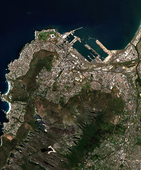
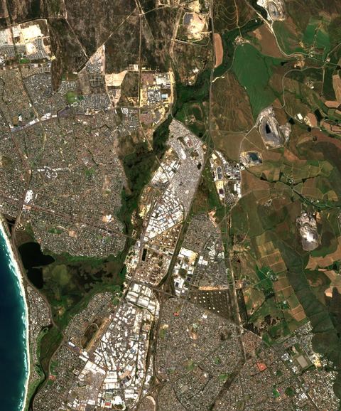
Table Bay anchorage
33.83°S 18.43°E · 2026-09-21 08:49 UTC · 0% cloud
Vessels seen
7
Likely tankers
2
Possible
0
Baseline: 1 of 7 clear scenes
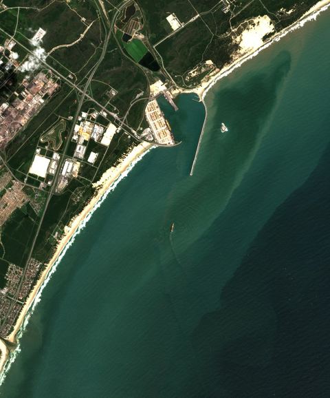
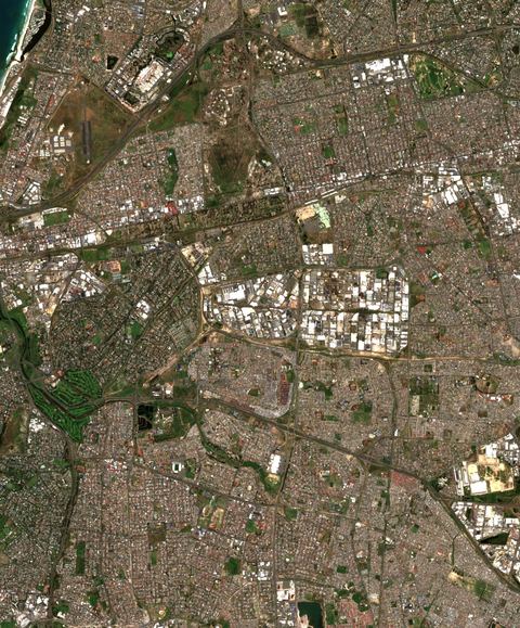
Algoa Bay STS area
33.83°S 25.68°E · 2026-09-30 08:29 UTC · 1% cloud
Vessels seen
6
Likely tankers
0
Possible
0
Baseline: 1 of 7 clear scenes
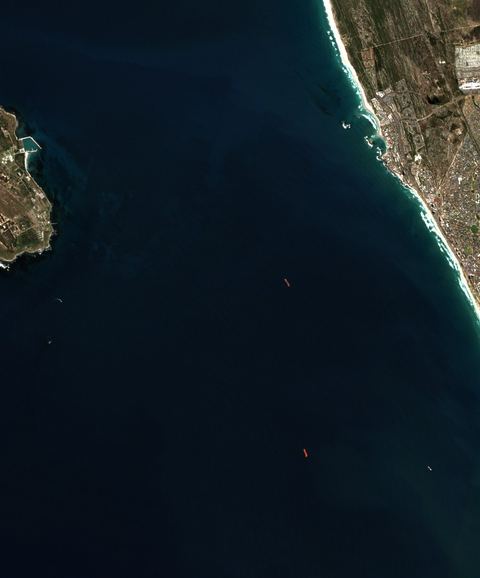
Table Bay anchorage
33.94°S 18.43°E · 2026-09-21 08:49 UTC · 0% cloud
Vessels seen
4
Likely tankers
0
Possible
1
Baseline: 1 of 7 clear scenes
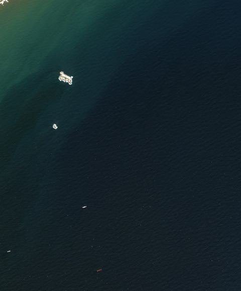
Algoa Bay STS area
33.83°S 25.80°E · 2026-09-30 08:29 UTC · 0% cloud
Vessels seen
3
Likely tankers
1
Possible
1
Baseline: 1 of 7 clear scenes
Table Bay anchorage
33.83°S 18.54°E · 2026-09-21 08:49 UTC · 0% cloud
Vessels seen
1
Likely tankers
0
Possible
0
Baseline: 1 of 7 clear scenes
Table Bay anchorage
33.94°S 18.54°E · 2026-09-21 08:49 UTC · 0% cloud
Vessels seen
0
Likely tankers
0
Possible
0
Baseline: 1 of 7 clear scenes
How to read these numbers
Counts are automatic proposals from 10-metre Sentinel-2 imagery. The detector is not a validated classifier: a “likely tanker” is a hull whose shape and deck colour fit a tanker, not an identified ship.
Cloud-covered water is not searched. A low count under cloud is missing data, not an empty anchorage.
Each tile is a sample about 12 kilometres across. Scenes arrive every few days per tile, so “latest” can mean several days old. The capture time is shown on every card.
Vessels seen by satellite carry no names. Matching them with AIS needs a receiver in range at the same time.
Method and source details are on the sources page of the map. Contains modified Copernicus Sentinel data.