Latest pass 2026-09-26 08:42 UTC · page updated 2026-10-01 23:02 UTC

Suez southern anchorage watch

Northbound ships gather in the Gulf of Suez before joining the canal convoy. The size of that queue reflects canal traffic, transit scheduling and, since 2024, how many operators are willing to come up through the Red Sea at all.

Crude bound for the Mediterranean can also discharge at Ain Sukhna into the SUMED pipeline, so tanker activity near the southern anchorage is not only canal traffic.

Tiles watched4
Vessels seen39Latest scene per tile
Likely tankers9
Possible tankers4
Scene dates26 Sept 2026

Sustained low counts point to diversion around Africa; a sudden build can mean convoy delays or weather.
Latest scenes

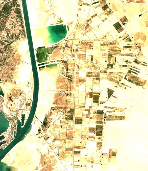
Sentinel-2 crop of Suez southern anchorage at 29.87°N 32.51°E, captured 26 Sept 2026

Suez southern anchorage

29.87°N 32.51°E · 2026-09-26 08:42 UTC · 0% cloud

Vessels seen
18
Likely tankers
4
Possible
2
Baseline: 1 of 7 clear scenes
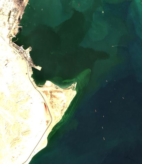
Sentinel-2 crop of Suez southern anchorage at 29.98°N 32.51°E, captured 26 Sept 2026

Suez southern anchorage

29.98°N 32.51°E · 2026-09-26 08:42 UTC · 1% cloud

Vessels seen
10
Likely tankers
1
Possible
2
Baseline: 1 of 7 clear scenes
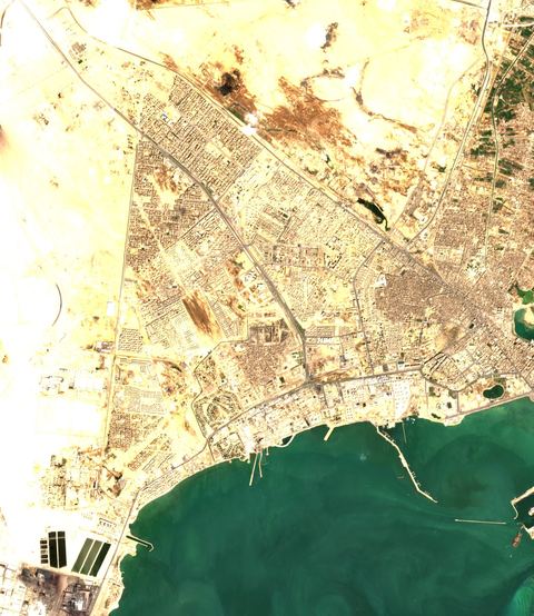
Sentinel-2 crop of Suez southern anchorage at 29.87°N 32.62°E, captured 26 Sept 2026

Suez southern anchorage

29.87°N 32.62°E · 2026-09-26 08:42 UTC · 1% cloud

Vessels seen
9
Likely tankers
4
Possible
0
Baseline: 1 of 7 clear scenes
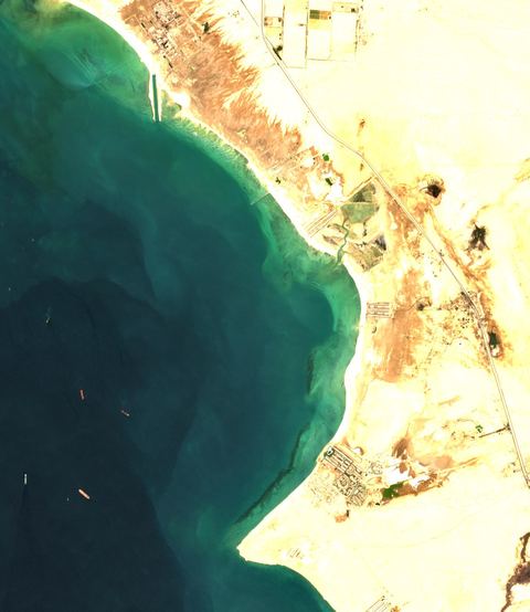
Sentinel-2 crop of Suez southern anchorage at 29.98°N 32.62°E, captured 26 Sept 2026

Suez southern anchorage

29.98°N 32.62°E · 2026-09-26 08:42 UTC · 1% cloud

Vessels seen
2
Likely tankers
0
Possible
0
Baseline: 1 of 7 clear scenes

How to read these numbers

  • Counts are automatic proposals from 10-metre Sentinel-2 imagery. The detector is not a validated classifier: a “likely tanker” is a hull whose shape and deck colour fit a tanker, not an identified ship.
  • Cloud-covered water is not searched. A low count under cloud is missing data, not an empty anchorage.
  • Each tile is a sample about 12 kilometres across. Scenes arrive every few days per tile, so “latest” can mean several days old. The capture time is shown on every card.
  • Vessels seen by satellite carry no names. Matching them with AIS needs a receiver in range at the same time.

Method and source details are on the sources page of the map. Contains modified Copernicus Sentinel data.